 Plotroom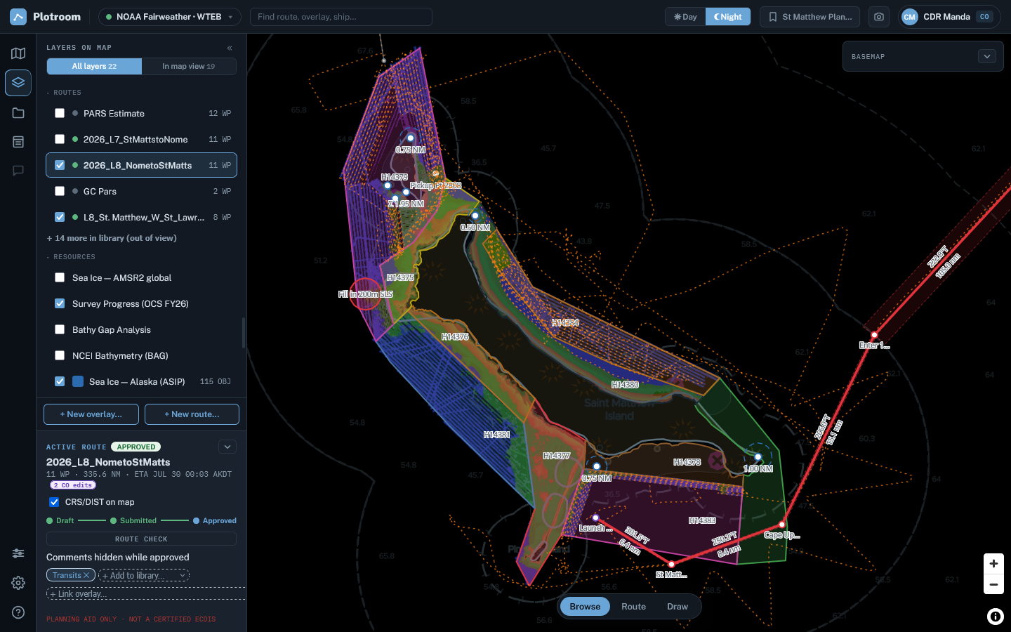
Read the waters your way
Use Day, Dusk, or Night chart palettes, choose the depth presentation, and reveal terrain or imagery ashore with Land only transparency.
Shared passage planning
Plotroom keeps routes, chart context, review, and ECDIS handoff together—so the passage develops in one clear operational picture.
Accounts are reviewed before access is granted and assigned to the appropriate vessel and role.
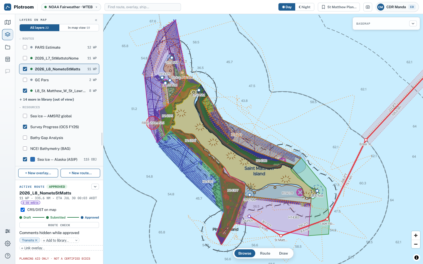
One saved view carries the route, layers, camera, and chart presentation. Day and night chart palettes remain available independently.
A clearer planning picture
Plotroom is organized around the decisions a navigator makes—not around separate files and disconnected displays.
Use Day, Dusk, or Night chart palettes, choose the depth presentation, and reveal terrain or imagery ashore with Land only transparency.
Edit waypoints, XTD, turn radii, speeds, stops, and fixed times on the chart or in the leg table. Plotroom fills the remaining schedule and flags conflicts.
Work with sea ice, planned survey areas, bathymetry, vessel positions, ship tracks, imported overlays, and external map services beside the route.
Use vessel safety settings to classify navigation regimes and check the route corridor against shallow water, land, and linked danger objects.
Submit the route, comment against the relevant leg or waypoint, and carry the approved plan and its audit trail forward together.
Export the approved geometry and schedule for supported ECDIS systems, then verify the result on the vessel's certified equipment.
File routes, overlays, rasters, web layers, and tracks in personal, ship, and fleet libraries without making disconnected copies.
Review approved passages by ship and date, export the bridge route again, and prepare a departure MOVREP from the recorded legs.
Layers with a purpose
Routes, reference data, ship overlays, and vessel positions remain distinct and easy to control. A saved view recalls the exact working picture on another device or through a share link.
From planning desk to bridge wing
Chart detail and saved views support a careful planning session on a full display. The mobile layout keeps the chart and route review close at hand elsewhere aboard.
Request an account, or return to Plotroom if you already have access.
Plotroom is free to use. Donations help cover hosting and continued development.
Donate via PayPal